Homepage / Services / Boundary Surveying
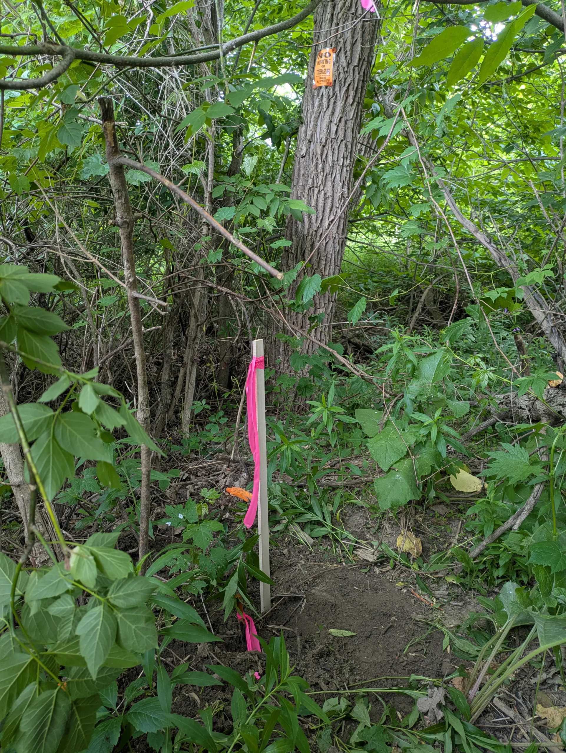
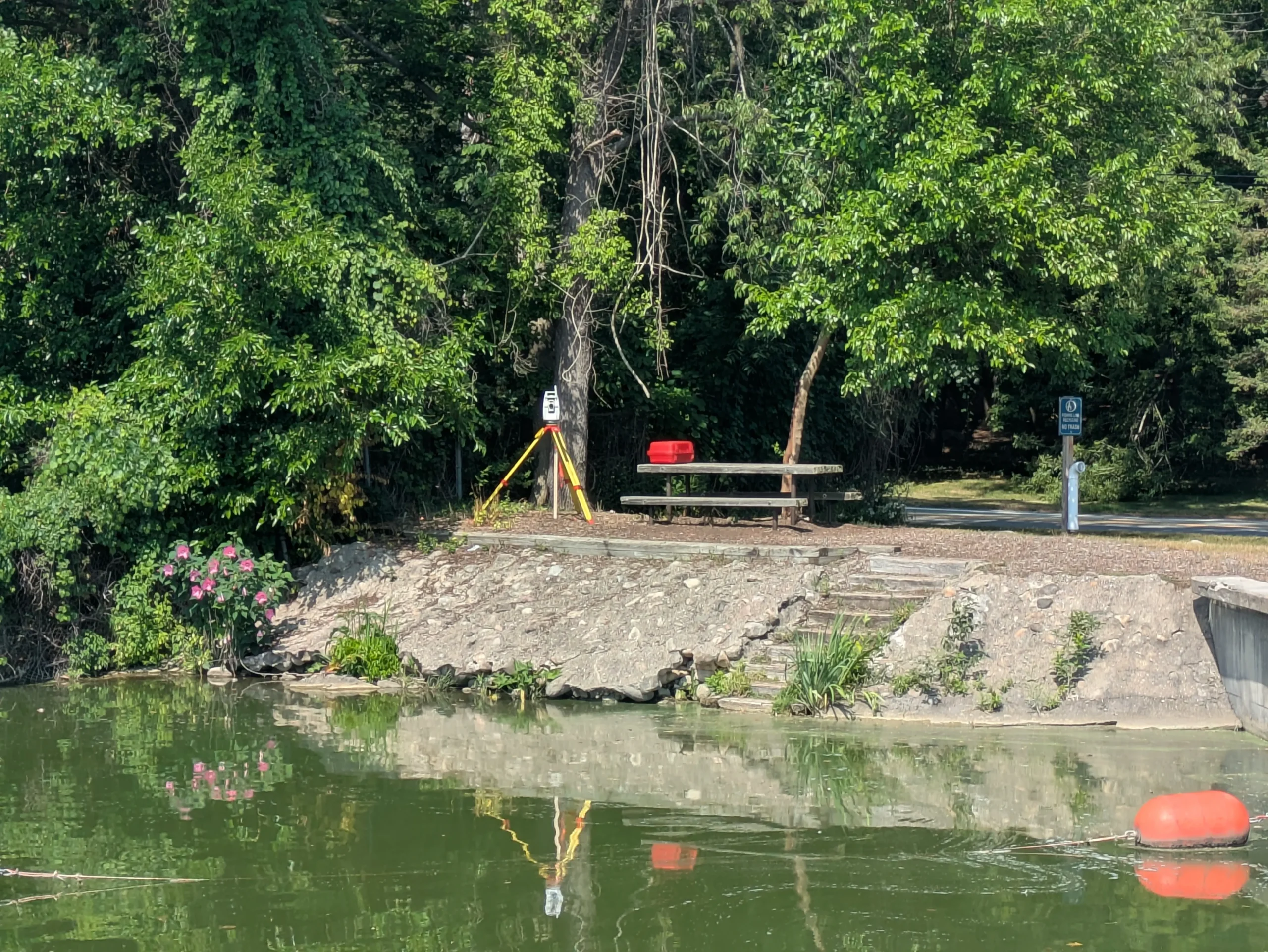
Our boundary surveying services help property owners in Tuscola, Sanilac, Lapeer, St. Clair, and northern Genesee counties clearly define their property lines. We use advanced Leica TS16 total station and Leica GS18t GPS technology to deliver accurate, dependable results across the Thumb and surrounding communities.
Whether you own a city lot or rural acreage, our residential boundary surveys provide clear, recorded property limits in the Thumb and southeastern Michigan. We help homeowners prevent future disputes, support fencing or building decisions, and protect long‑term property investments.
Farm owners in Tuscola and Sanilac counties rely on precise boundary surveys to manage crop planning, tile installation, and land transactions. Using the Leica TS16 and GS18t, we accurately map large rural properties, section corners, and fence lines across Michigan’s Thumb region.
For commercial sites and future developments in Lapeer, St. Clair, and northern Genesee counties, our boundary surveys support site planning, permitting, and financing. We document existing boundaries, encroachments, and easements so developers can design with confidence throughout the Thumb and surrounding communities.
Accurate data is the foundation of every successful project. Partner with a team you can trust for precise, efficient, and expert land surveying services.