Homepage / Services / Drones/Aerial Mapping
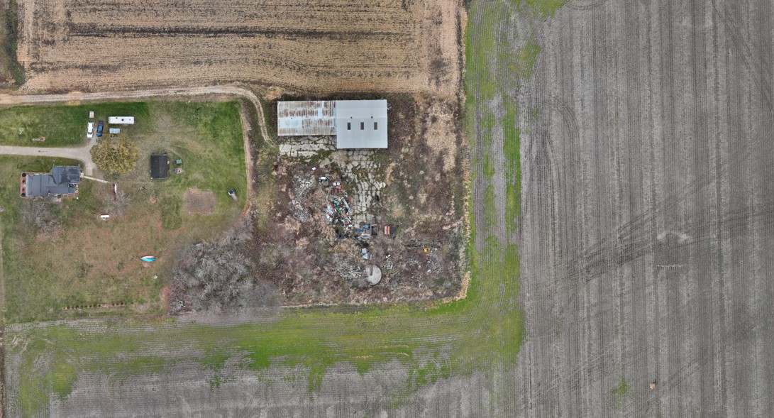
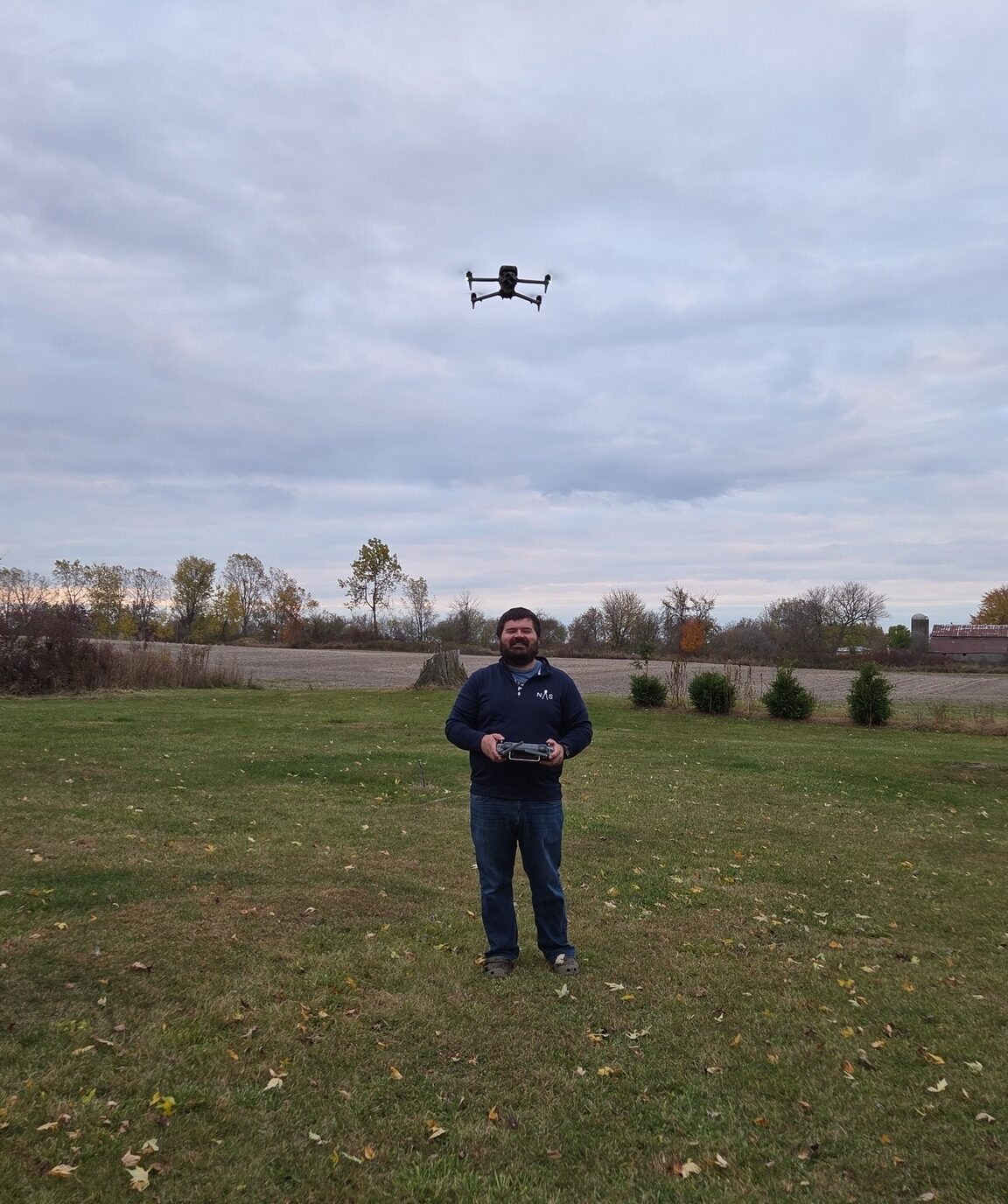
Our drone surveying and aerial mapping services support projects across Tuscola, Sanilac, Lapeer, St. Clair, and northern Genesee counties. Using a DJI Matrice 4E and Leica GS18t GPS control, we capture accurate imagery and elevation data for planning, design, and documentation.
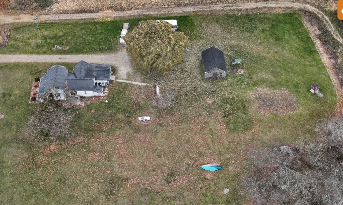
Developers, engineers, and municipalities in the Thumb and surrounding communities rely on drone mapping to quickly visualize existing conditions. We produce georeferenced orthophotos and surface models that speed up concept design, grading studies, and preliminary planning for residential, commercial, and municipal projects.
Farmers in Tuscola and Sanilac counties use our drone mapping to better understand field conditions, drainage patterns, and access routes. High‑resolution DJI Matrice 4E imagery and survey‑grade ground control give you reliable mapping for tiling, drive placement, and long‑term land management.
On active construction sites in Lapeer, St. Clair, and northern Genesee counties, our drone surveys provide progress documentation and stockpile volume calculations. By combining DJI Matrice 4E data with Leica control, we deliver accurate mapping that helps owners and contractors track work and quantities.
Accurate data is the foundation of every successful project. Partner with a team you can trust for precise, efficient, and expert land surveying services.