Homepage / Services / Easement Surveys
We perform easement surveys for access, utilities, and drainage throughout Tuscola, Sanilac, Lapeer, St. Clair, and northern Genesee counties. Our mapping clarifies where easements exist on your property so you understand rights, limitations, and maintenance responsibilities in the Thumb and surrounding communities.
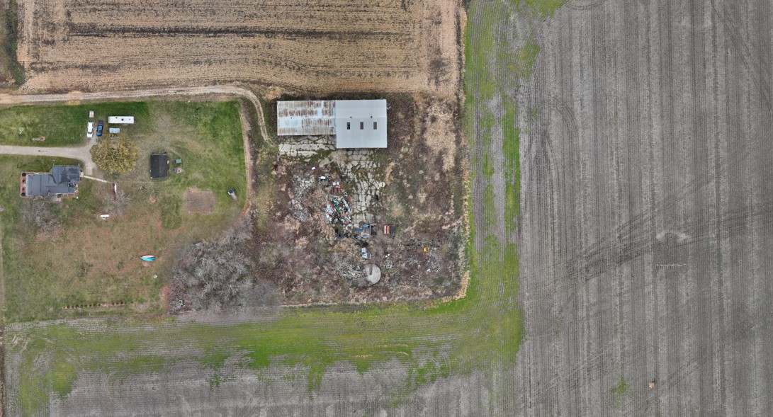
Utilities and municipalities rely on easement surveys to plan new water, sewer, and electrical lines. We accurately map easement corridors, tie them to property boundaries, and prepare clear exhibits for recording, supporting infrastructure projects across Michigan’s Thumb and southeastern Michigan.
For landlocked parcels and shared driveways, access easements are critical. We survey and describe easements so owners, lenders, and title companies understand how vehicles and equipment legally reach a property throughout Tuscola, Sanilac, Lapeer, St. Clair, and northern Genesee counties.
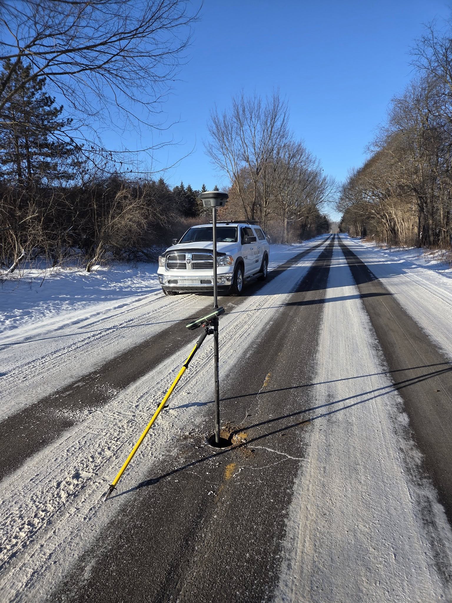
Our Leica TS16 and GS18t equipment helps us collect precise data along easement routes, even in challenging wooded or developed areas. This accuracy ensures easement descriptions and plats match actual field conditions, reducing conflicts during construction and long‑term use.
Accurate data is the foundation of every successful project. Partner with a team you can trust for precise, efficient, and expert land surveying services.