Homepage / Services / Farm Surveys
We provide farm surveys for crop, pasture, and recreational land throughout Tuscola, Sanilac, Lapeer, St. Clair, and northern Genesee counties. Our surveys help landowners understand acreage, boundaries, and field layout so they can manage and protect their farms in the Thumb region.
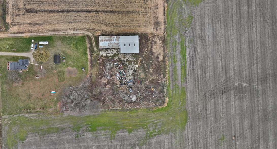
Knowing exact field boundaries and acreage supports rental agreements, crop insurance, and long‑term planning. We survey individual fields and entire farms, providing clear maps and acre counts farmers can rely on across Michigan’s Thumb and surrounding communities.
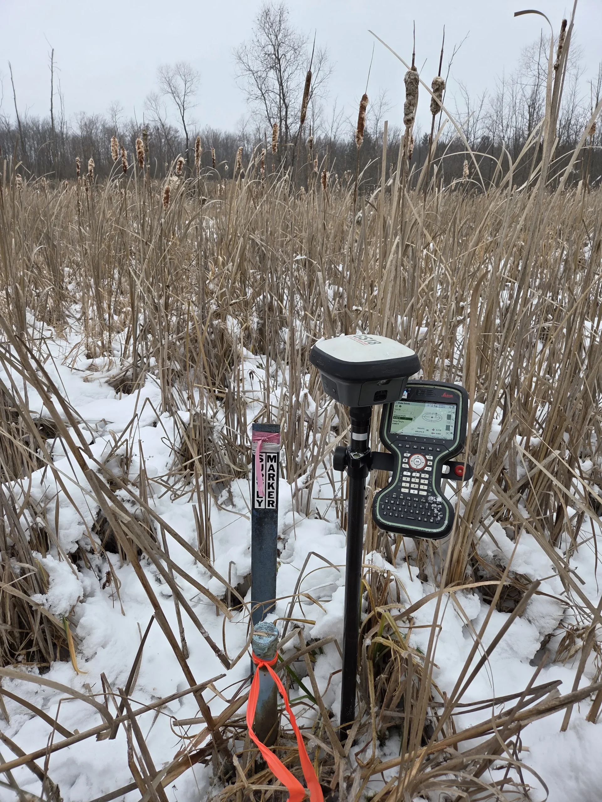
Combining Leica TS16 and GS18t surveying with DJI Mavic 4E drone mapping, we efficiently cover large farm properties. High‑accuracy ground control and aerial imagery help document tile lines, access drives, and field edges throughout Tuscola, Sanilac, Lapeer, St. Clair, and northern Genesee.
When farms are sold, divided, or transferred to the next generation, accurate surveys are essential. We document boundaries, create new parcels if needed, and support attorneys and title companies working on agricultural transactions across Michigan’s Thumb and southeastern Michigan.
Accurate data is the foundation of every successful project. Partner with a team you can trust for precise, efficient, and expert land surveying services.